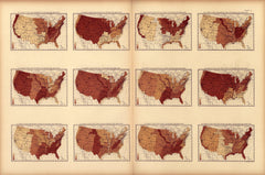
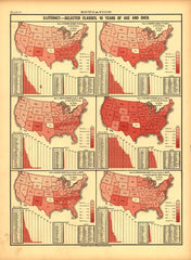
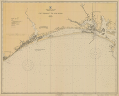
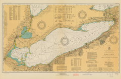
Vintage Visualizations
Prints & posters of old maps, historic data viz and infographics from ages long past
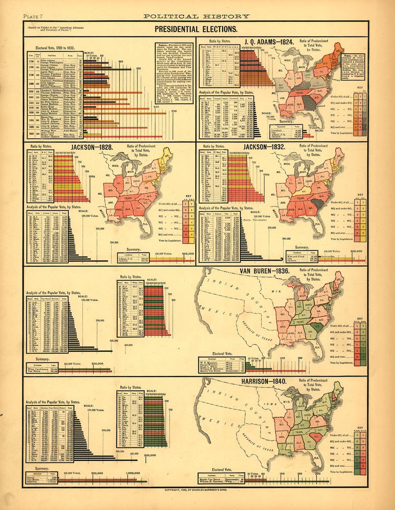
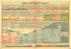
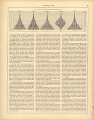
Presidential Elections - 1824 (Adams), 1828, 1832 (Jackson), 1836 (Van Buren), 1840 (Harrison)
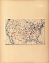
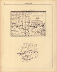
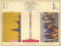
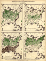
In this collection of maps and charts, we learn about the United States presidential elections from 1824 to 1840. We also̴Ì_get to see how tiny̴Ì_the known territory of the United States was at that time and̴Ì_how mysterious things got as one headed west (check out that vast "Indian Country"!).
Tags: bar graphs, Census Atlas, charts, color, front page, interesting and unique, maps, multicolor, politics, red, six maps, vertical
All prints are on matte, archival, acid-free paper, and all framed prints are framed in satin black wooden frames.
We've done a little bit of cleanup to prepare the image for printing, but this is a faithful reproduction of the source material, and bears any scratches, smudges, or tears that were in the original. How charming!
