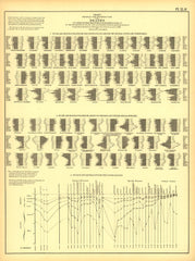
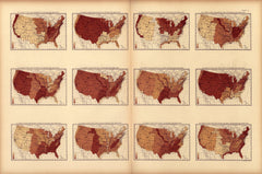
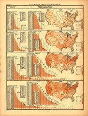
Vintage Visualizations
Prints & posters of old maps, historic data viz and infographics from ages long past
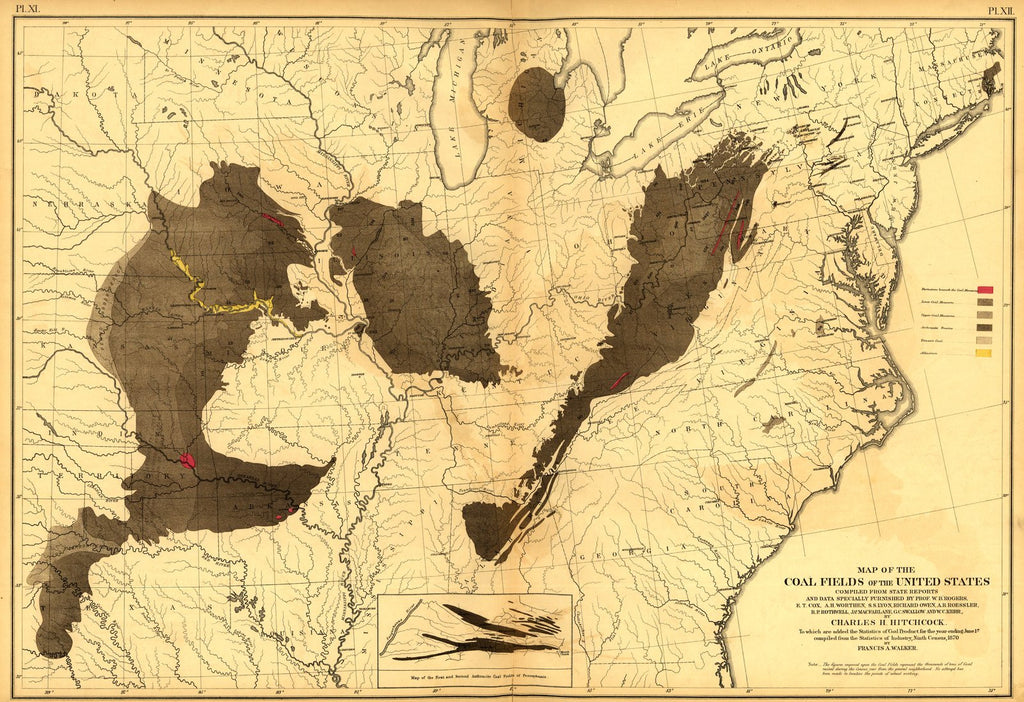
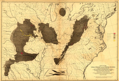
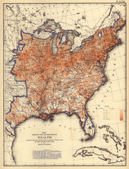
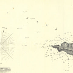
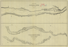
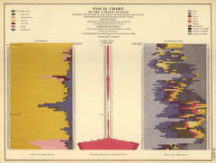
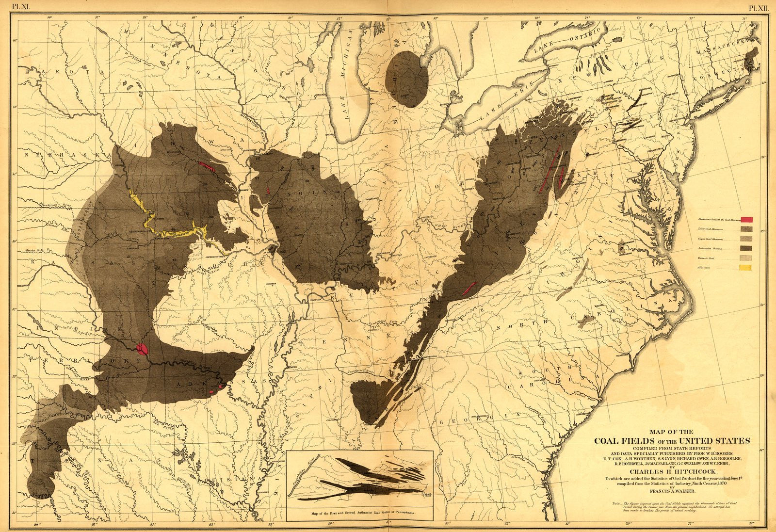
Coal Fields of the U.S. (1870)
From Statistical Atlas of the United States (1870)
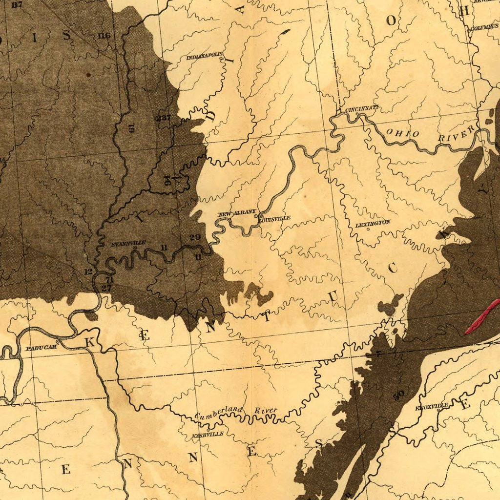
This striking map shows the location of coal deposits in the Eastern United States, circa 1870. The striking contrast between the black and white sections of the map make it appear almost an abstract work from a distance.
Tags: Census Atlas, finance, horizontal, interesting and unique, manufacturing and industry, maps, monochrome, single map
All prints are on matte, archival, acid-free paper, and all framed prints are framed in satin black wooden frames.
We've done a little bit of cleanup to prepare the image for printing, but this is a faithful reproduction of the source material, and bears any scratches, smudges, or tears that were in the original. How charming!
Attribution: Library of Congress, Geography and Map Division →

