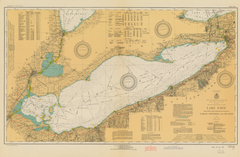
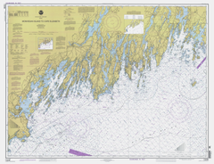
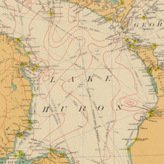
Vintage Visualizations
Prints & posters of old maps, historic data viz and infographics from ages long past
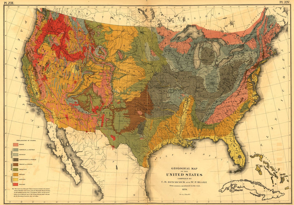
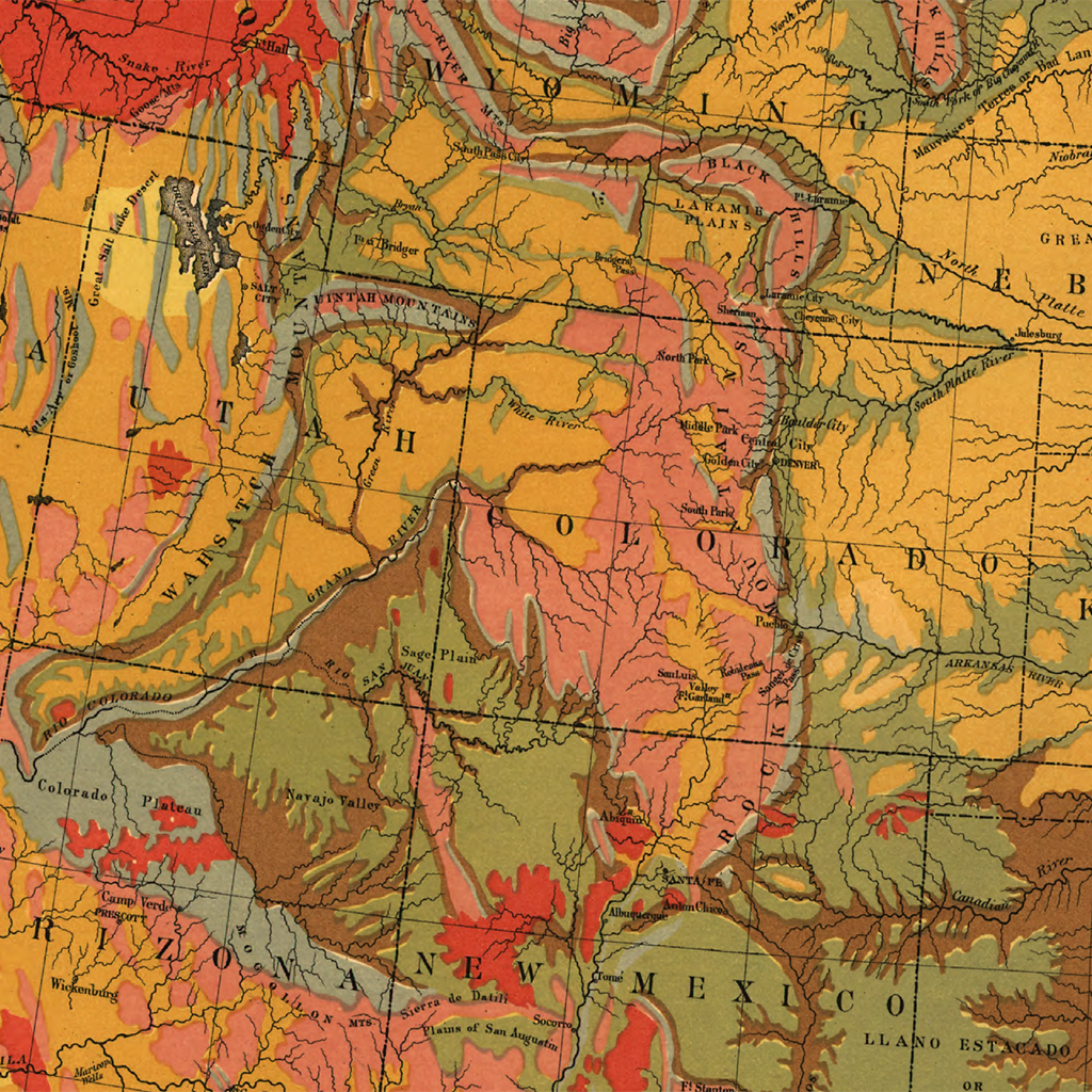
Geological Map of the U.S.
From Statistical Atlas of the United States (1870)
Did you know that much of the California coastline is cretaceous? Or that Florida is all alluvium? This map from the 1870s shows the geology of the United States in colorful swaths.
Just a heads up! The original map has a black tear running through the middle of the page and that will be carried over to your print. Consider this one extra authentic!̴Ì_
Tags: Census Atlas, color, colorful, front page, geography, horizontal, maps, multicolor, single map
All prints are on matte, archival, acid-free paper, and all framed prints are framed in satin black wooden frames.
We've done a little bit of cleanup to prepare the image for printing, but this is a faithful reproduction of the source material, and bears any scratches, smudges, or tears that were in the original. How charming!
Attribution: Library of Congress, Geography and Map Division →