Vintage Visualizations
Prints & posters of old maps, historic data viz and infographics from ages long past
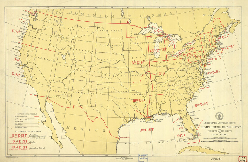
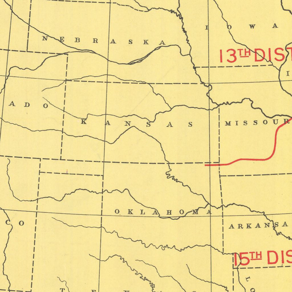
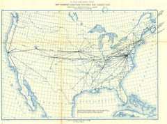
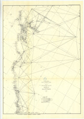
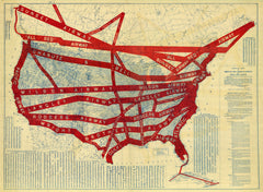
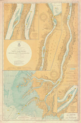
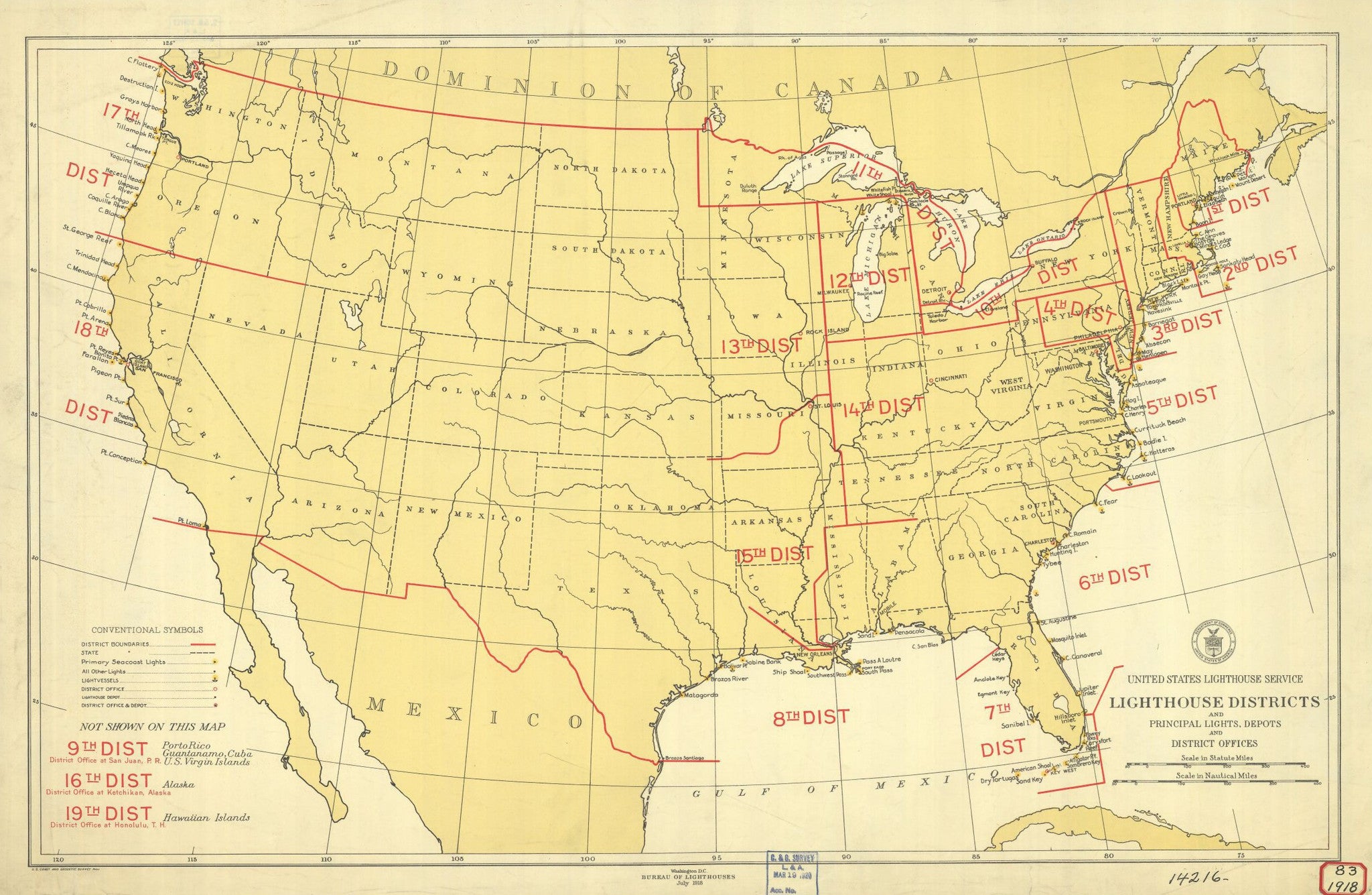
Lighthouse Districts And Principal Lights Depots And District Offices
From US Coast & Geodetic Survey, NOAA Historical Map Collection (1918)
Meet the United States Lighthouse Service, aåÊlate-1800s and early-1900såÊrelic that was absorbed by the Coast Guard in 1939, and learn to measure in nautical miles with this 1918 map of lighthouse districts.
Tags: 1910s, 1918, Alabama, Arizona, Arkansas, California, Colorado, Connecticut, Delaware, Florida, front page, Georgia, Idaho, Illinois, Indiana, Iowa, Kansas, Kentucky, Louisiana, Maine, maps, Maryland, Massachusetts, Michigan, Minnesota, Mississippi, Missouri, Montana, Nautical Chart--Preliminary, Nebraska, Nevada, New Hampshire, New Jersey, New Mexico, New York, NOAA, North Carolina, North Dakota, Ohio, Oklahoma, Oregon, Pennsylvania, Rhode Island, South Carolina, South Dakota, Tennessee, Texas, Utah, Vermont, Virginia, Washington, West Virginia, Wisconsin, Wyoming
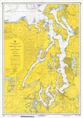
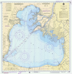
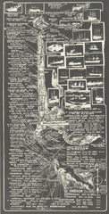
All prints are on matte, archival, acid-free paper, and all framed prints are framed in satin black wooden frames.
We've done a little bit of cleanup to prepare the image for printing, but this is a faithful reproduction of the source material, and bears any scratches, smudges, or tears that were in the original. How charming!
Attribution: NOAA Office of Coast Survey Historical Map & Chart Collection →