Vintage Visualizations
Prints & posters of old maps, historic data viz and infographics from ages long past

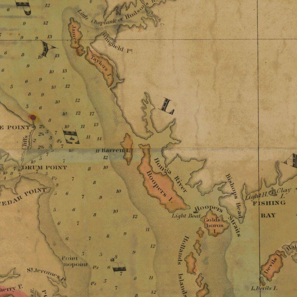
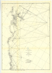
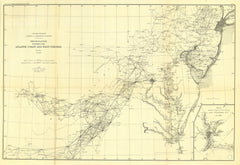
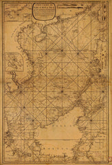
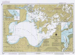
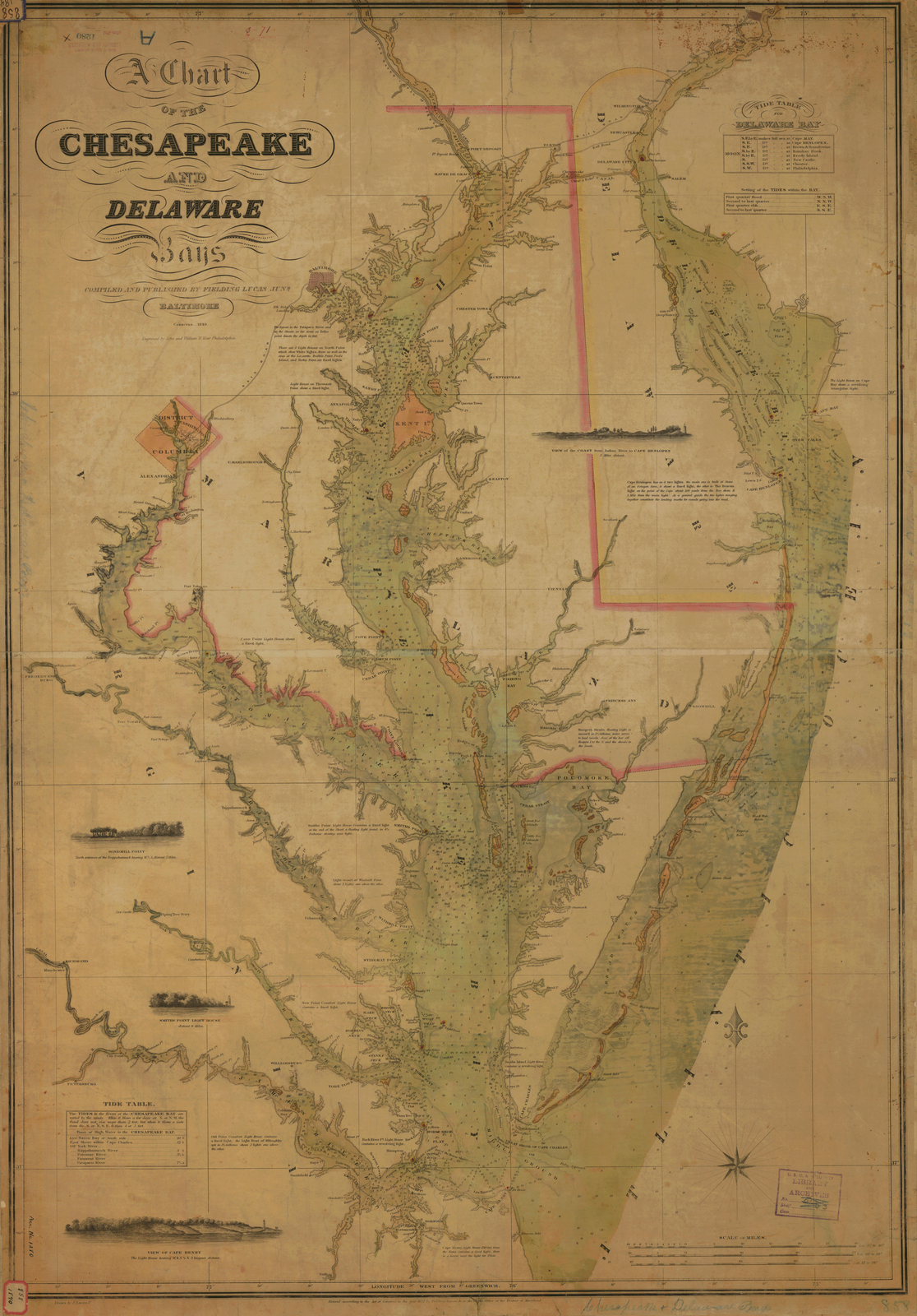
A Chart Of The Chesapeake And Delaware Bays
From Fielding Lucas, NOAA Historical Map Collection (1840)
Tags: 1840, 1840s, Delaware, maps, Maryland, Nautical Chart, NOAA
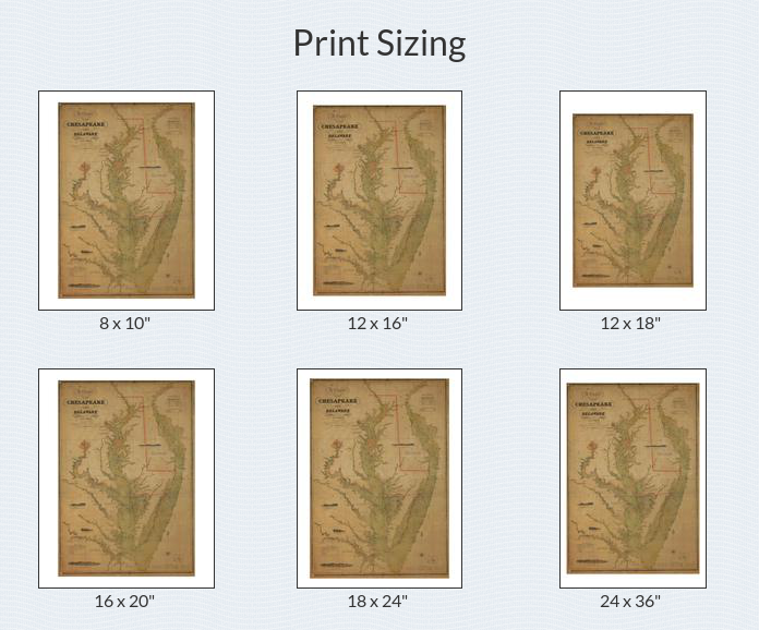
All prints are on matte, archival, acid-free paper, and all framed prints are framed in satin black wooden frames.
We've done a little bit of cleanup to prepare the image for printing, but this is a faithful reproduction of the source material, and bears any scratches, smudges, or tears that were in the original. How charming!
Attribution: NOAA Office of Coast Survey Historical Map & Chart Collection →