Vintage Visualizations
Prints & posters of old maps, historic data viz and infographics from ages long past
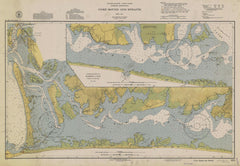
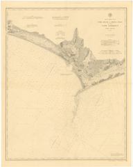
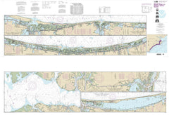
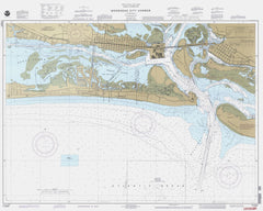
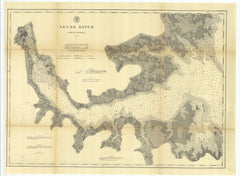
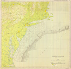
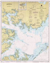
Survey Maps North Carolina
Striking prints from the National Oceanic and Atmospheric Administration (NOAA) Office of Coast Survey Historical Map & Chart Collection. Maps ranging from the founding of America to the modern day.
- All Filters:
- All
- 1600s
- 1620s
- 1690s
- 1750s
- 1770s
- 1780s
- 1790s
- 1800s
- 1810s
- 1820s
- 1830s
- 1840s
- 1850s
- 1860s
- 1870s
- 1880s
- 1890s
- 1900s
- 1910s
- 1920s
- 1930s
- 1940s
- 1950s
- 1960s
- 1970s
- 1980s
- 1990s
- 2000s
- 2010s
- Aeronautical Chart
- airplanes
- airway
- airways
- Alabama
- Alaska
- Annual Report
- Arizona
- Arkansas
- atlantic ocean
- bair island
- Base Map
- Bathymetric Map
- Bathymetric Map--Preliminary
- belmont
- broad channel
- brooklyn
- bushwick
- butte
- California
- canada
- Cartographic
- channel island
- channel islands
- chicago
- City Plan
- Civil War
- Colorado
- commerce
- Connecticut
- Delaware
- detroit
- District of Columbia
- Drawing
- east coast
- east river
- flight
- Florida
- fort tilden
- foster city
- front page
- gateway national recreation area
- Geodetic
- Geological and Natural History Survey of Canada
- Georgia
- Graph
- Gravity
- great falls
- great lakes
- greenpoint
- grosse point
- H-Sheet
- harbor
- Hawaii
- hudson river
- Hunterdon County
- Idaho
- Illinois
- Indiana
- infrastructure
- jacob riis park
- jamaica bay
- Kansas
- Kentucky
- kill van kull
- KR
- lake michigan
- Lake Survey
- long beach
- long island
- long island sound
- los angeles
- Louisiana
- Magnetic
- Maine
- malibu
- manhattan
- Maryland
- Massachusetts
- Michigan
- milwaukee
- Minnesota
- Mississippi
- Missouri
- Montana
- MP
- multicolor
- Nautical Chart
- Nautical Chart--Index
- Nautical Chart--Preliminary
- Nautical Chart--Sketch
- Nautical Chart--Training
- Nebraska
- Nevada
- New Hampshire
- New Jersey
- New Mexico
- New York
- new york city
- new york harbor
- niagra falls
- NOAA-NOS
- North Carolina
- North Dakota
- Oklahoma
- Oregon
- OTHER
- oxnard
- PC
- pelham bay
- Pennsylvania
- PH
- Photo--Index
- Puerto Rico
- queens
- Rhode Island
- rochester
- rockaway
- rockaway beach
- san carlos
- san francisco
- san mateo
- santa barbara
- santa cruz
- santa monica
- sea breeze
- Sergeantsville
- Sketch
- South Carolina
- South Dakota
- staten island
- T-Sheet
- Tennessee
- Texas
- thousand oaks
- Topographic
- Topographic Bathymetric Map
- U.S. Coast Survey
- united states
- US Coast & Geodetic Survey
- USA
- Vermont
- Virgin Islands
- Virginia
- Washington
- washington DC
- waterfront
- West Virginia
- williamsburg
- WIN
- Wisconsin
- WK
- Wyoming
