Vintage Visualizations
Prints & posters of old maps, historic data viz and infographics from ages long past
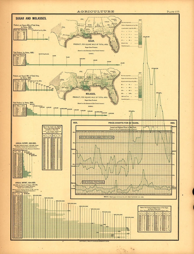
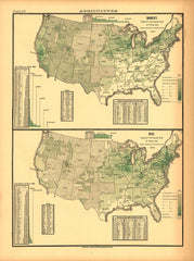
Agricultural Production (Sugar and Molasses)
From Statistical Atlas of the United States (1880)
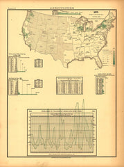
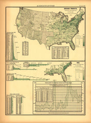
The perfect print for all your friends with a sweet tooth! This hodgepodge map and chart shows the (relatively small) areas of the United States where sugar cane was grown in 1880. It also features price charts and an import/export report.
Tags: agriculture, Census Atlas, color, green, line graphs, maps, vertical
All prints are on matte, archival, acid-free paper, and all framed prints are framed in satin black wooden frames.
We've done a little bit of cleanup to prepare the image for printing, but this is a faithful reproduction of the source material, and bears any scratches, smudges, or tears that were in the original. How charming!
Attribution: Library of Congress, Geography and Map Division →
